
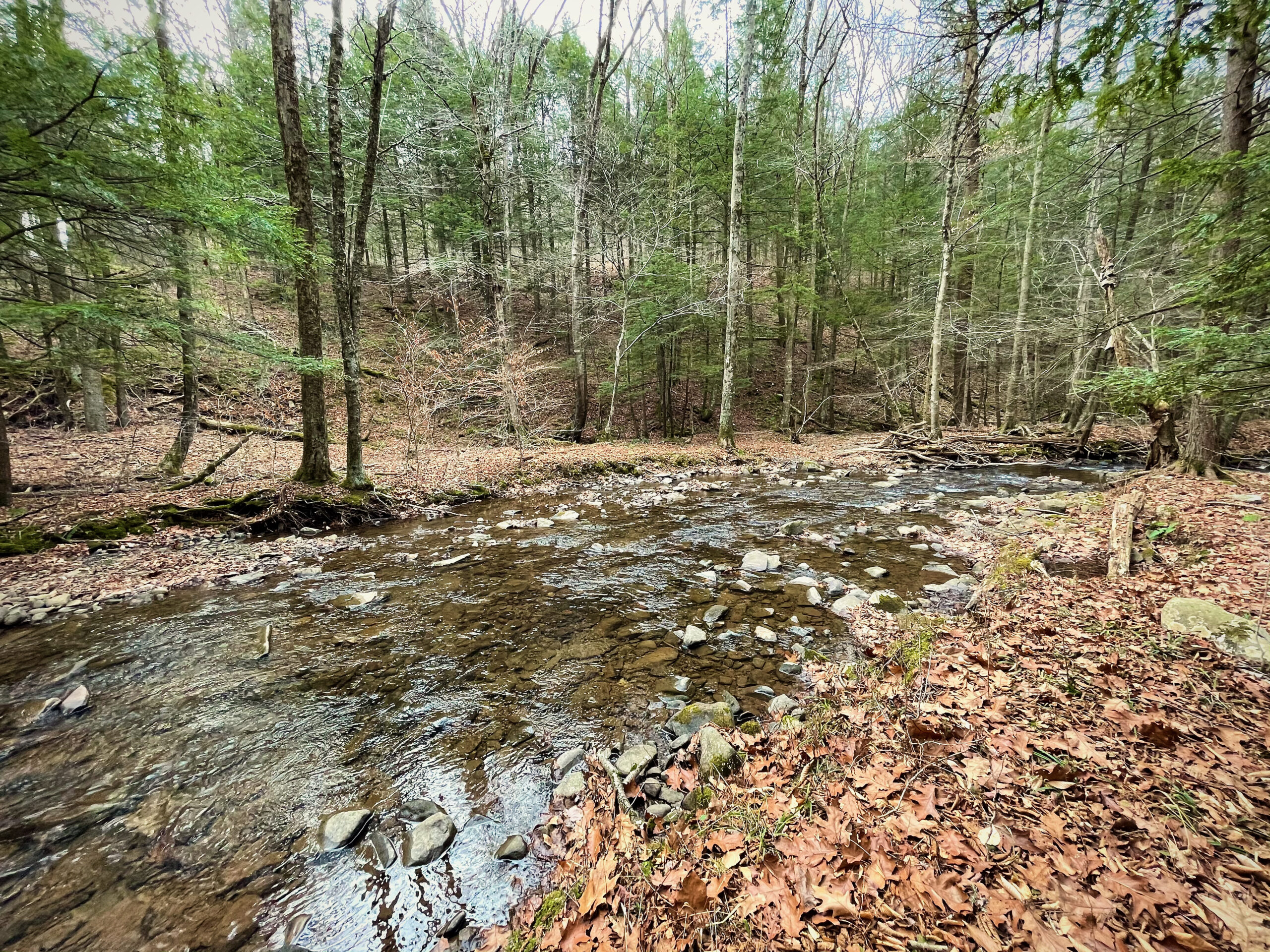
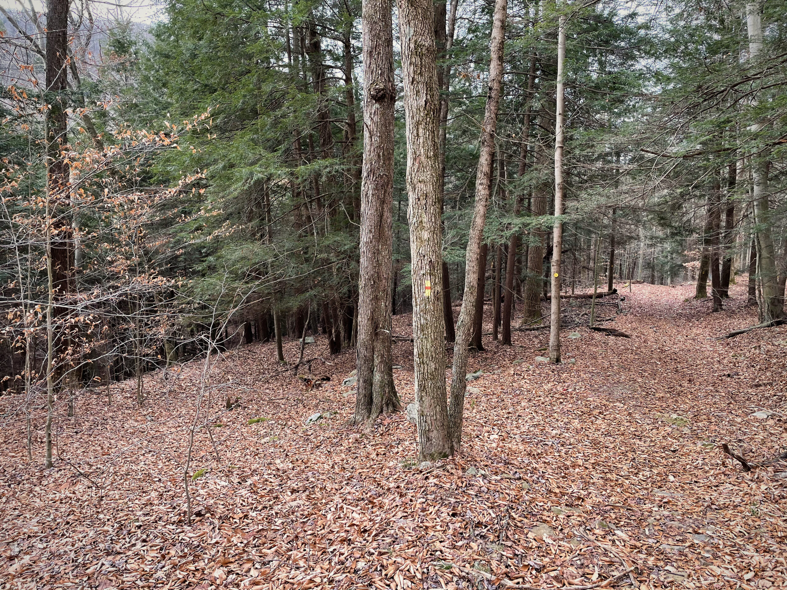
Across a river, up a steep unpaved road, then through a series of switchbacks lies the trailhead for Angel Falls Trail, which follows a portion of the Loyalsock Trail. The trail follows a creek that splits and joins itself again a few times before turning right up the mountain.
The name is a bit of a misnomer – apparently the falls only fall during periods of recent rain. Turns out, December isn’t the best time for viewing waterfalls, but the weather can’t be beat.
The Way Up
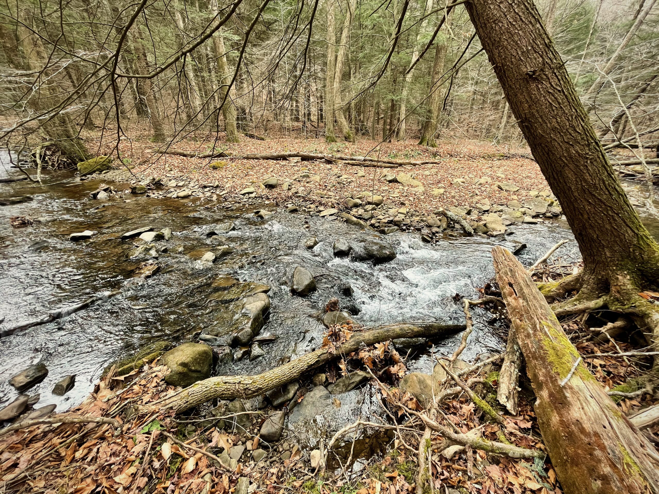
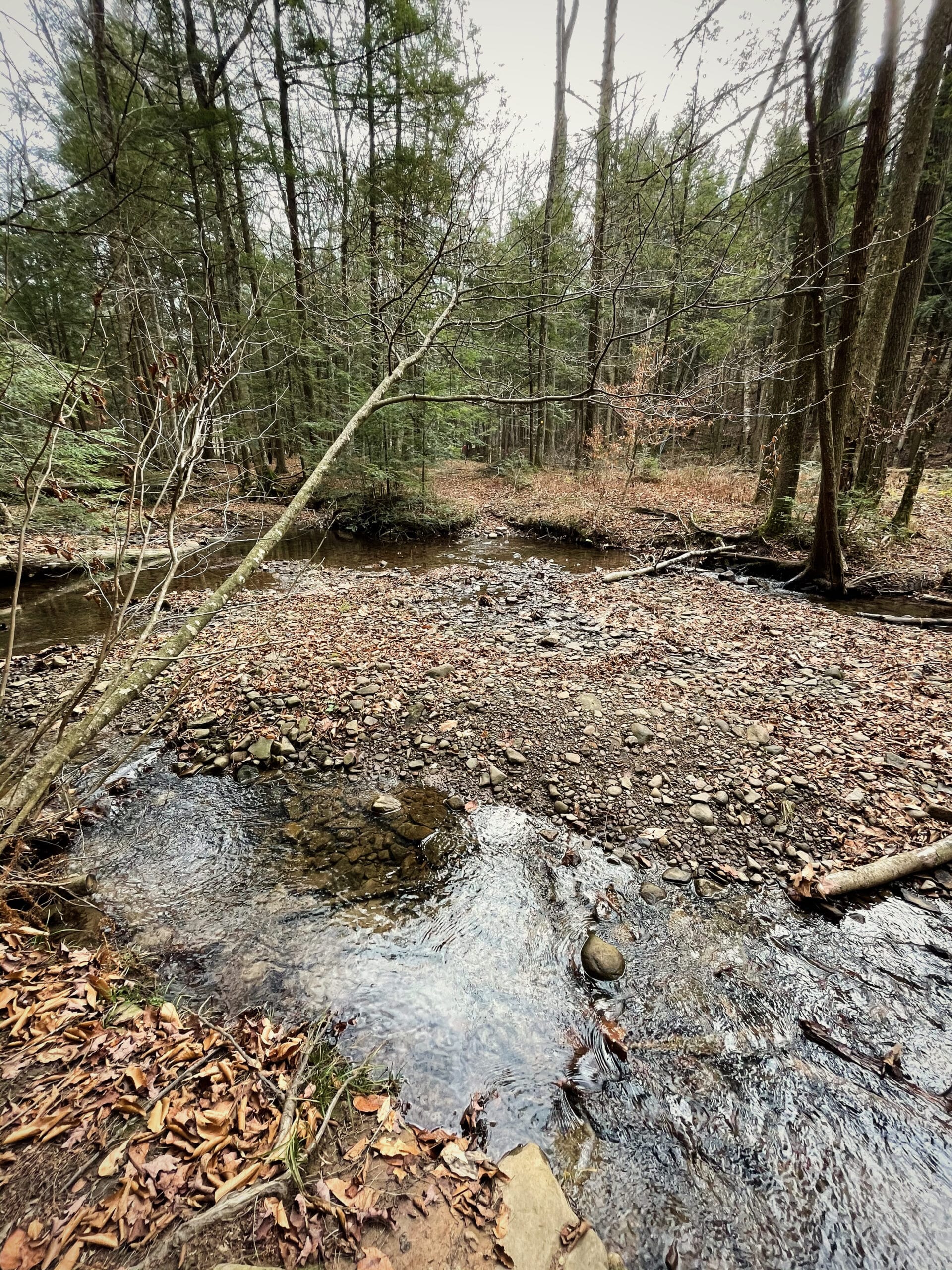
The trail crosses over Ogdonia Creek a few times. The creek doesn’t get quite thin enough to step over, but some careful footwork and a jump or two does the job just as well.
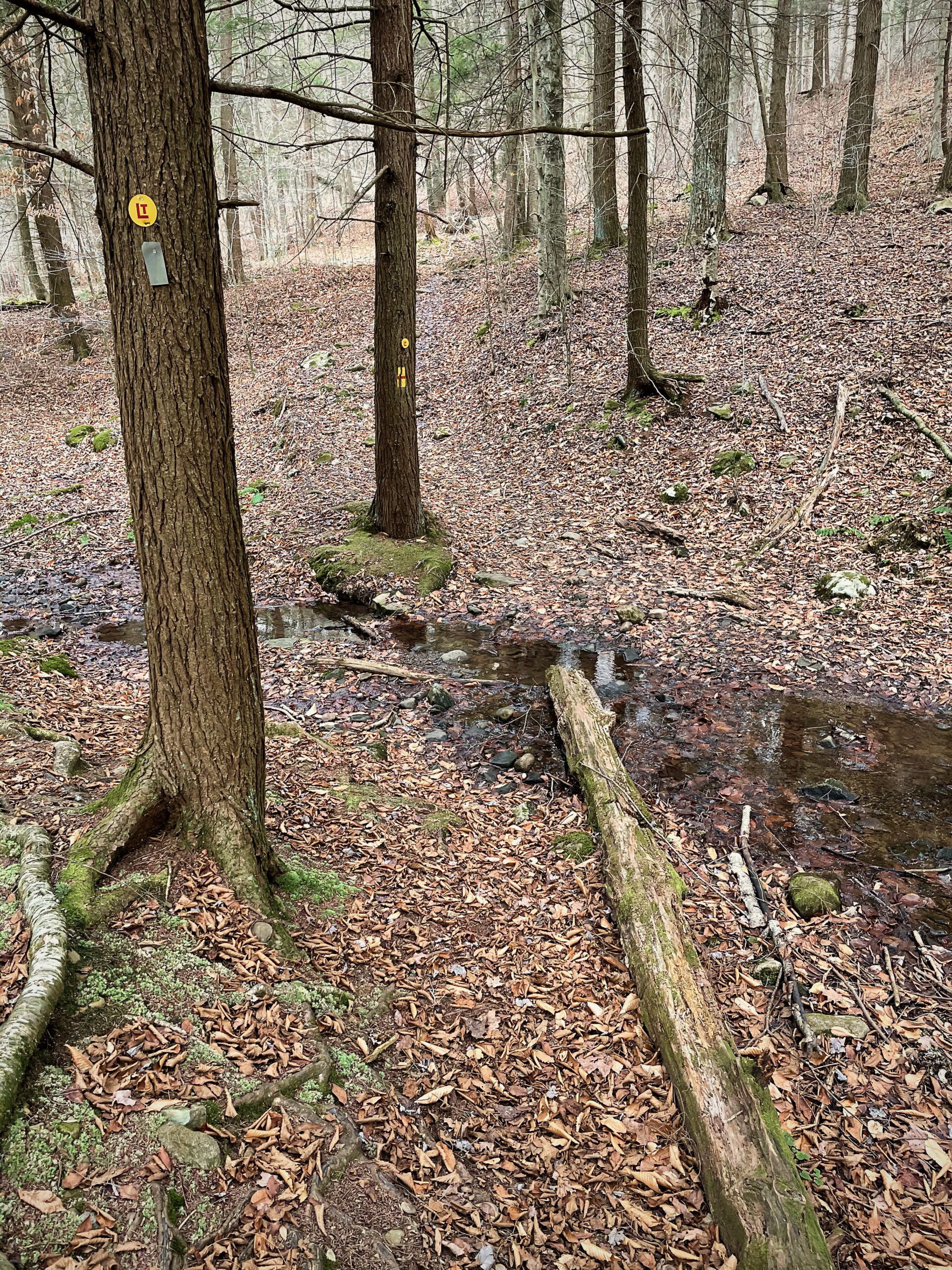
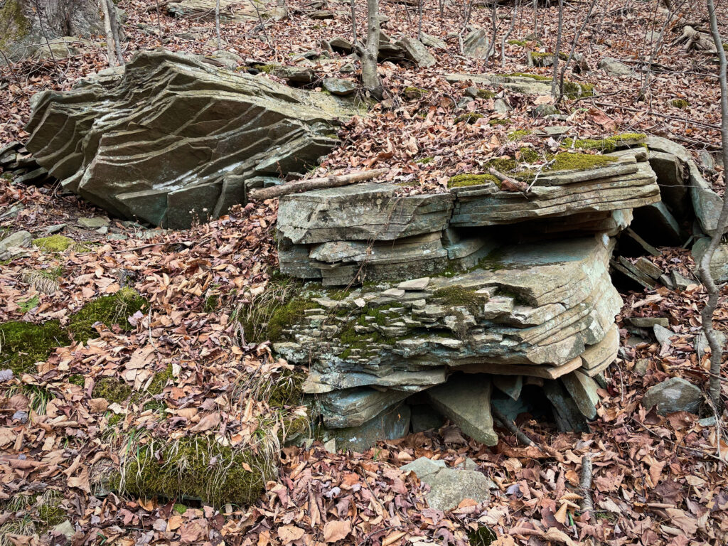
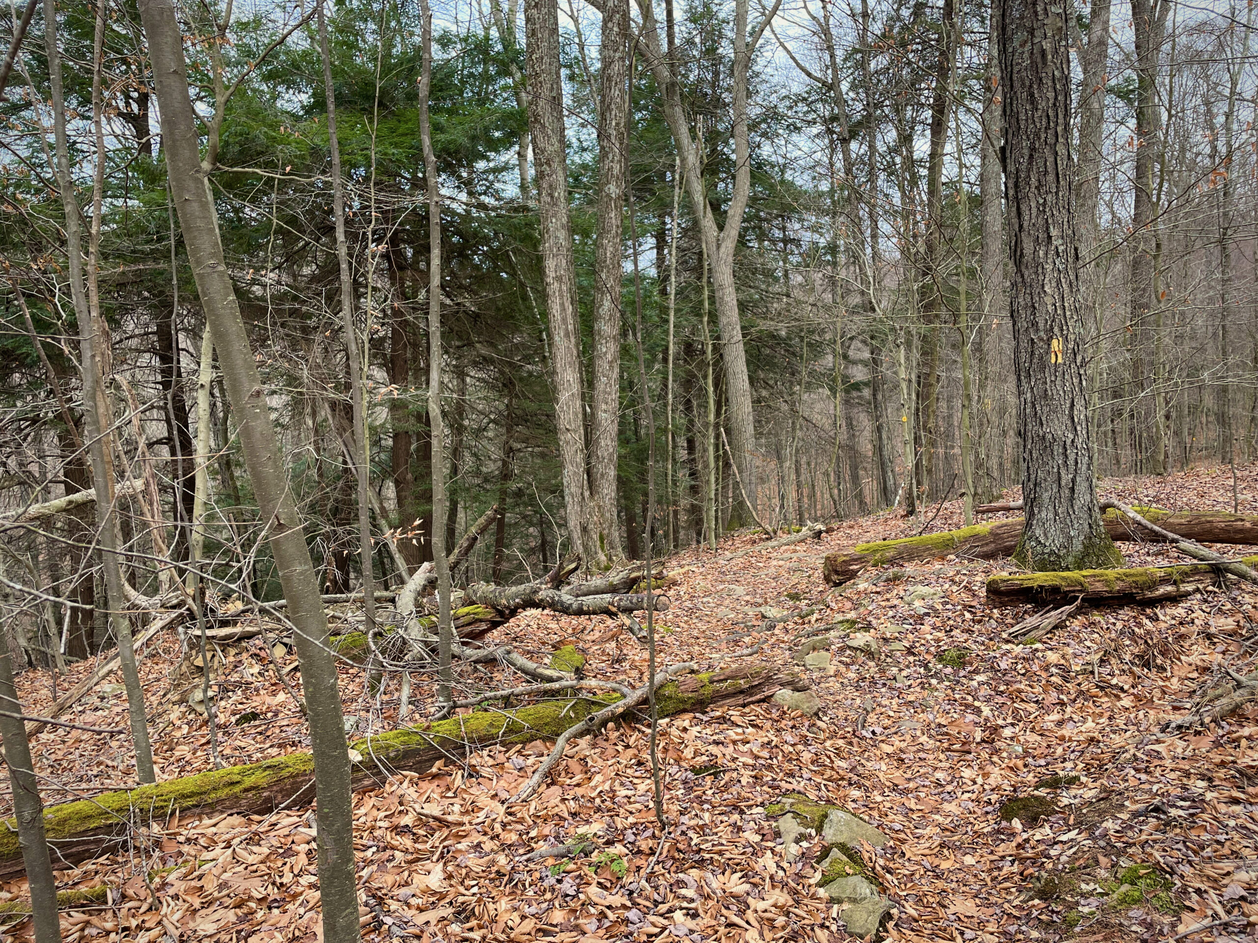
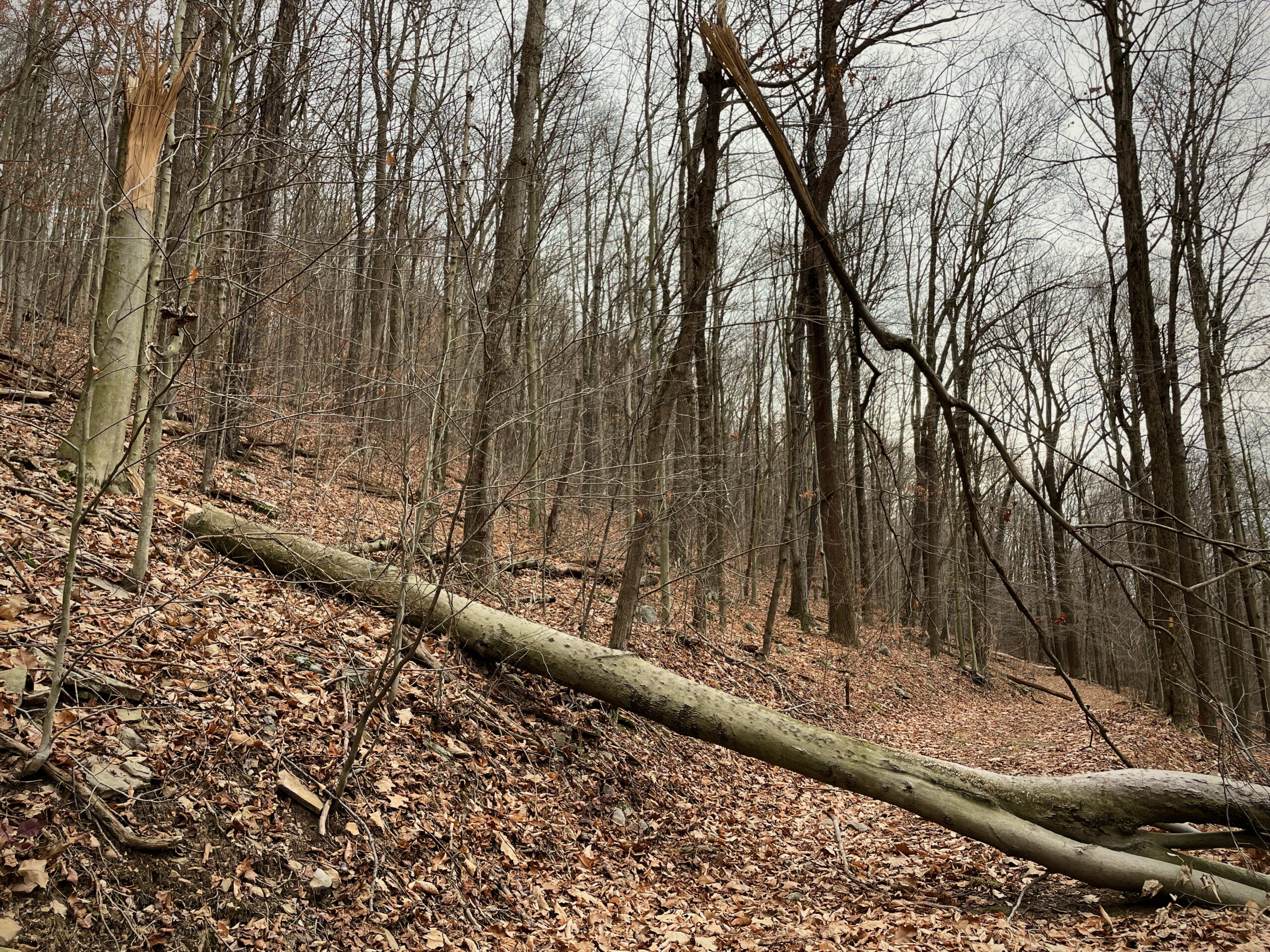
After fording the creek twice, the trail takes a sharp turn up the mountain. The sound of the creek falls behind, replaced by wind rustling through the bare trees. The path goes right up the mountain for a short distance, then follows what looks like an old access road, usable by ATVs and the like. It’s clear the access road is no longer used, since only the portion that follows Angel Falls Trail is actively maintained. A few trees have fallen, notably before and after the trail meets and breaks with the access road.
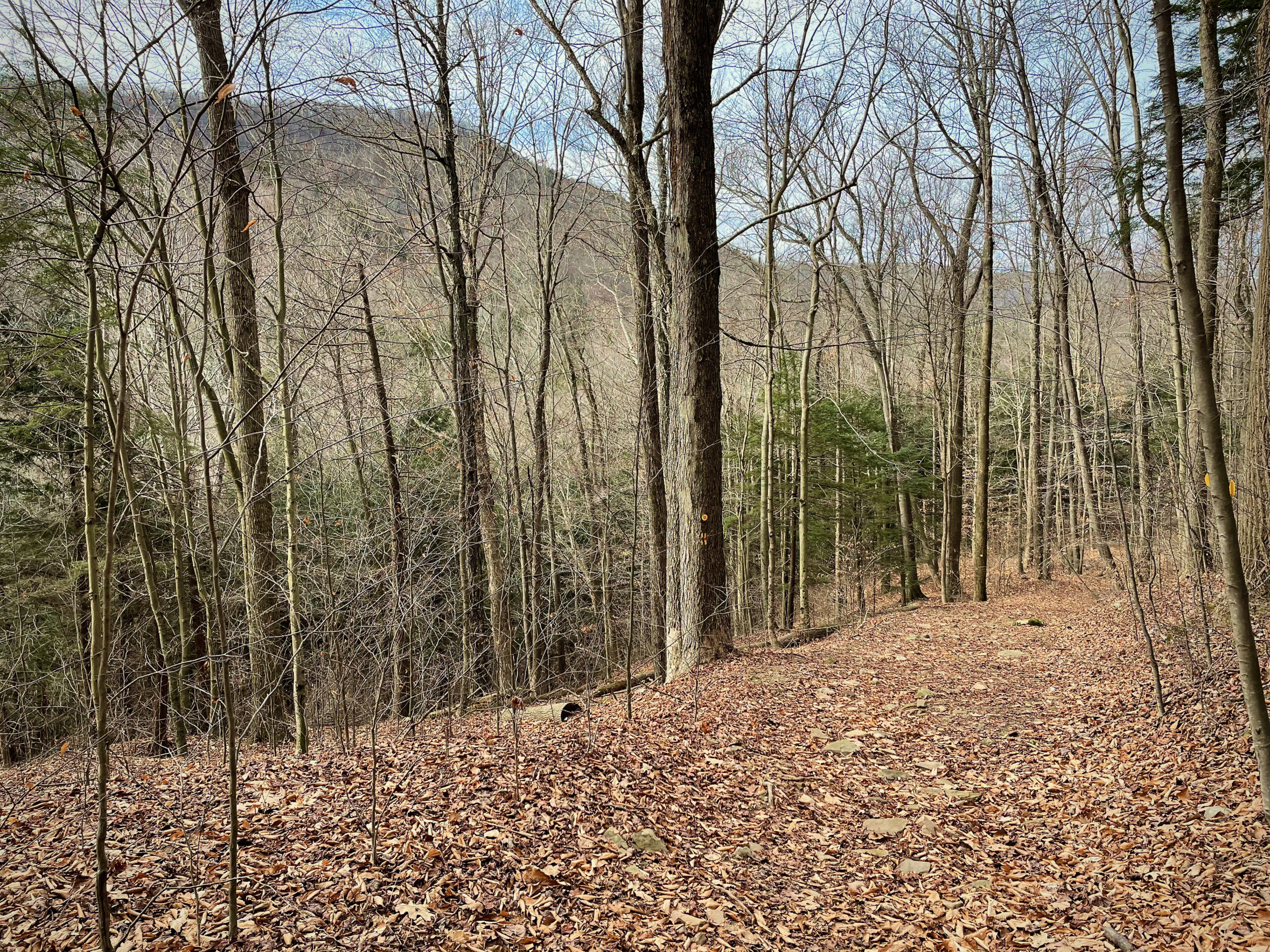
After about a quarter mile, the trail breaks from the access road and winds its way up the mountain. It’s a somewhat more challenging hike here, with shifting rocks and signs of erosion throughout the trail.
In other seasons, it’s likely easier – all the fallen leaves made things a bit trickier than it needed to be.

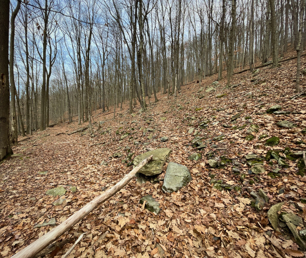
The last leg of the trail was pretty much straight up the side of the mountain. It narrows down to about a foot or two wide, so I didn’t stop for photos for fear of losing my footing. The summit is just past the most difficult part of the trail (isn’t that how it always is?), but well worth the sense of achievement.
Loyalsock Trail continues on through the pine grove and down the other side of the mountain for a total length around fifty miles, but Angel Falls Trail is only about three miles long. Having finished the Angel Falls Trail, I turned around and headed back down the mountain.
Photos From The Way Back


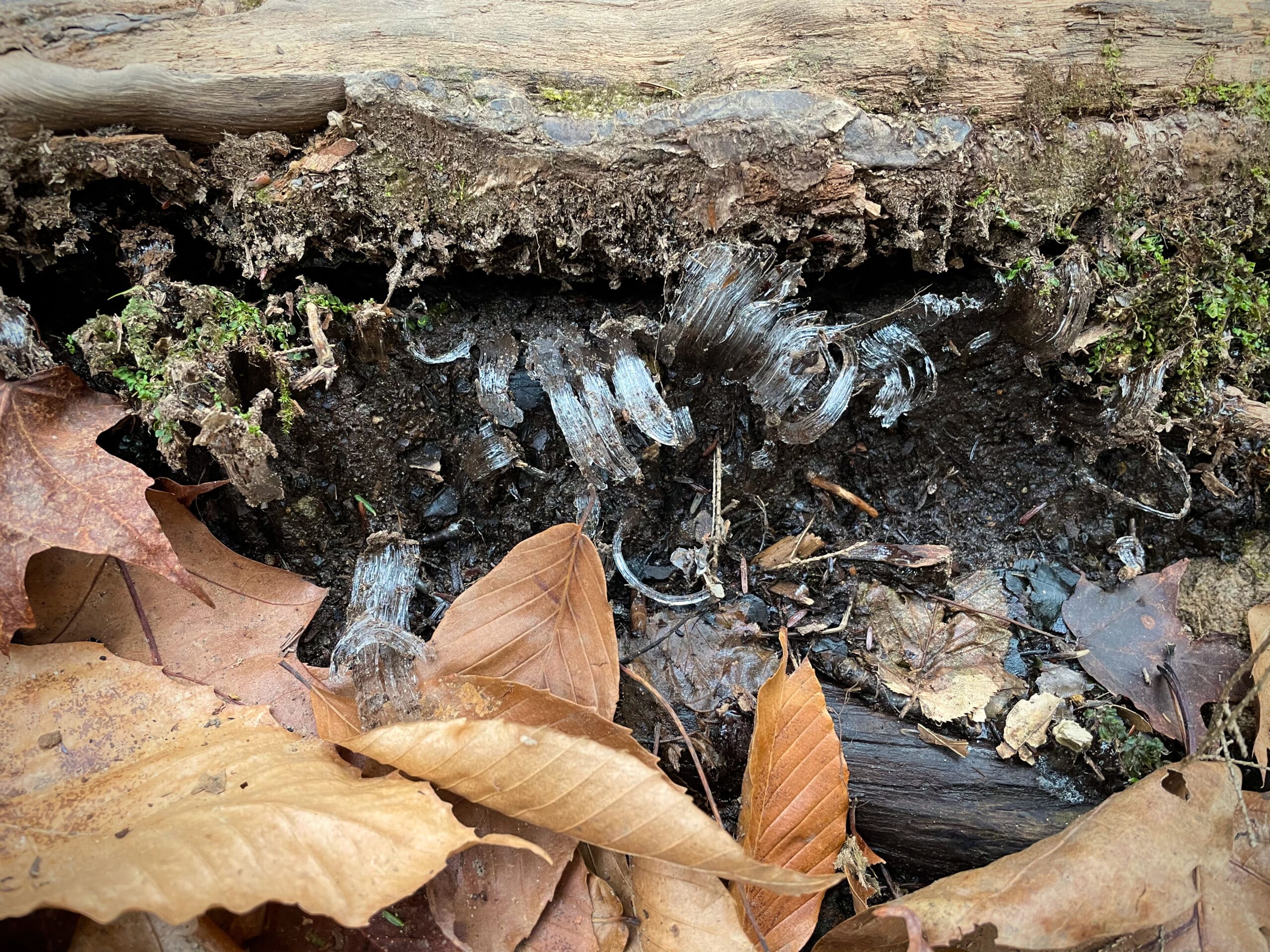
Inside the valley, I saw some excellent examples of a fascinating phenomenon: needle ice! Needle ice forms when the air is below freezing but the ground isn’t quite yet, and the ground has a water supply readily available. The water on the surface freezes, gets replaced by water from the water supply, and slowly raises itself into these tiny little ice columns.
If you enjoyed this article, check out another hike of the Roaring Creek. If you’re into abandoned places and spaces, check out The Abandoned Turnpike or Centralia, the infamous forever-burning ghost town.
Kym Helwig
Tyler, this is really good writing and beautiful photography. Thank you for sharing: I really enjoy these articles!
Tyler
Thank you! I’m glad you’re enjoying them!!