The Watershed has a number of well-marked trails winding through the mountains south of the city. It’s a popular spot for folks to visit, and was by far the busiest trail of the week.
After signing in, we headed down the main trail along the water filtration plant. To the right is a perfectly straight line of old trees marking a “Do Not Enter” boundary, the underbrush doing its best to hide the mechanical equipment in the distance. There are mountains on all side, and low clouds cover the peaks.
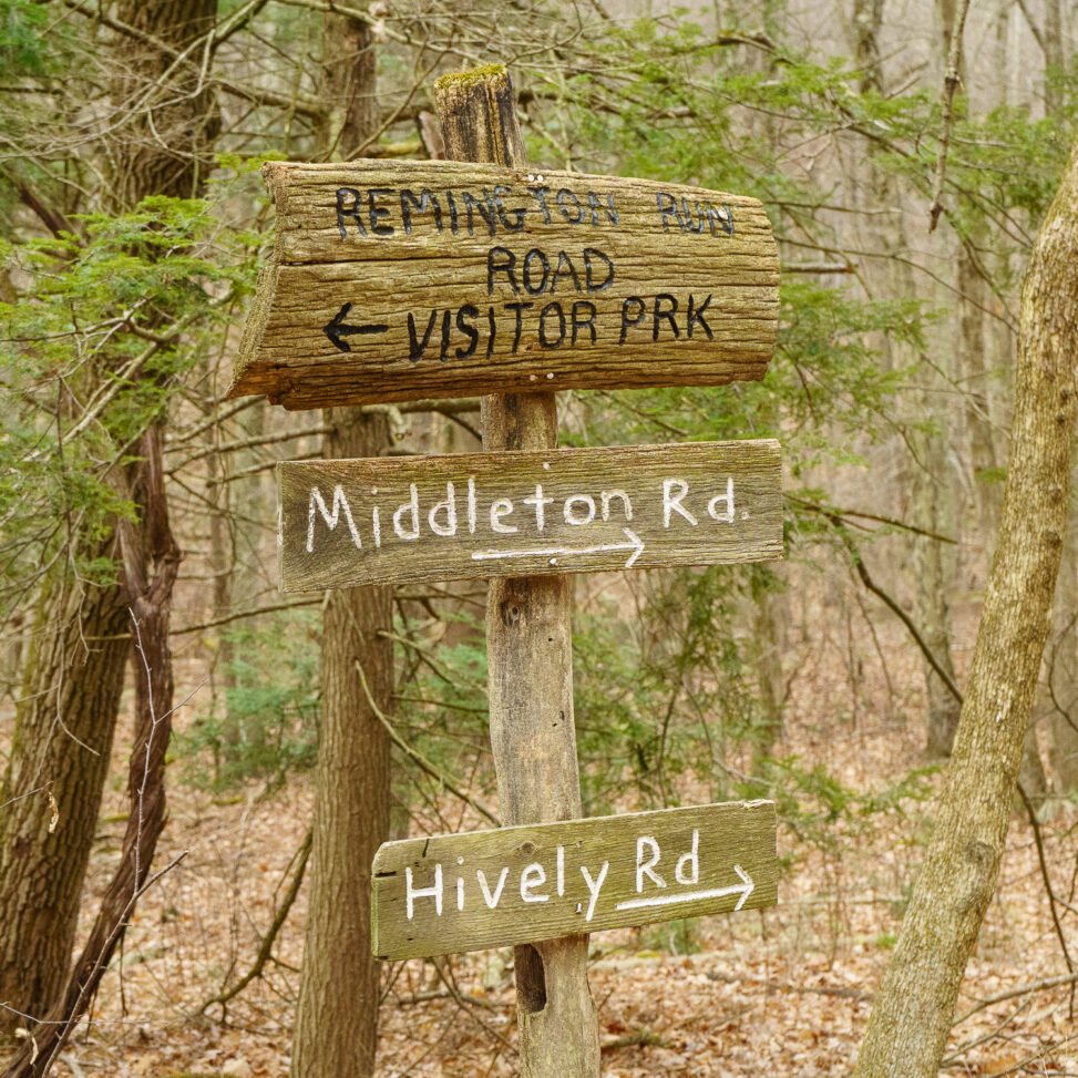
The trail splits. Turning left, there’s a slight incline as the path enters more of a natural area. It’s still an easy walk – there’s a good mix of uphill sections and flat bits. To the right is a section of mountain that seems to be eroding, many trees have fallen or been cut down.

Many of the fallen logs are partially covered in moss – only the newest fallen trees are still uncovered.
In contrast, the left of the trail has a number of small pine trees – they all look to be only a few years old.
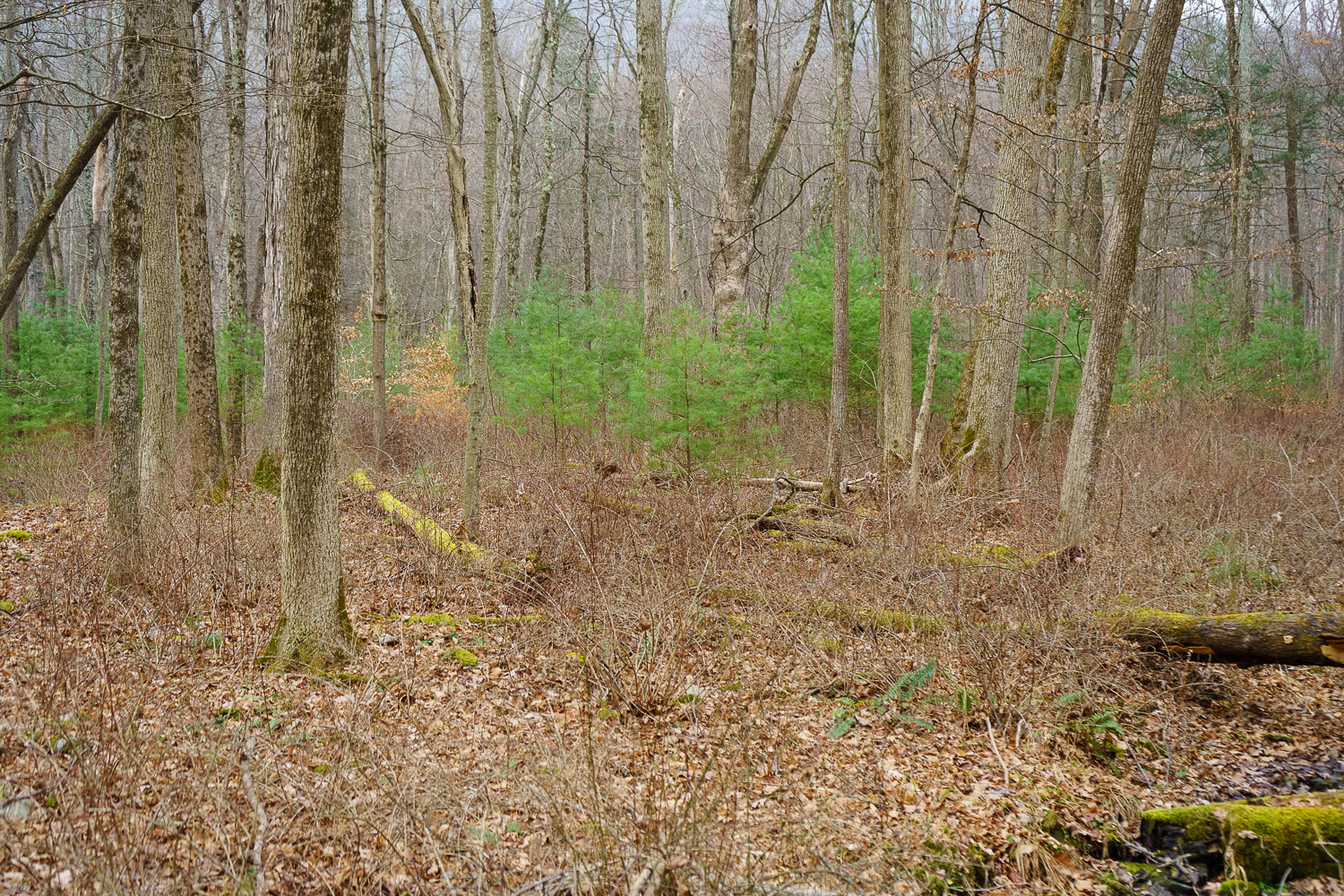
At this time of year, the only greenery in the forest is the pine trees, moss, and some ferns in the low-lying areas.

Even though the trail leads uphill for nearly a mile, there’s still very much a valley feel through this portion. Small waterways cross under the path every few hundred feet, and join up with a creek on the left side of the path.

Leaves blanket the forest, but the gravel trail remains largely free of them. It’s a pretty busy path for this time of year. We’ve passed a few groups of people by now, fumbling to get our masks on before we reach them. At nearly fifty degrees, it’s quite warm – almost warm enough to hike without a coat or sweatshirt, but my wife tells me that’s probably not a good idea. She’s right, of course.

Every so often, an access road splits off from the main trail. I don’t see trail markers or signs for them. If it were earlier in the day, we might get some exploring in, but December afternoons don’t leave much time for diversions.

The Path Less Travelled

Eventually, we reach a switchback that leads up the side of Raccoon Mountain. This path is covered in a few layers of leaves and looks more on the wild side – still well marked, but perhaps not quite as popular of a destination.

It’s clear we’ve left the valley behind. The creek is no longer audible, and the wind coming through the trees makes me glad I left my sweatshirt on. Fallen leaves are slippery underfoot.

Mountain Elevation
Nearly two miles into the hike, we reach the highest point – it’s not the top of the mountain, but the trail begins to wind down the mountain and loop back to the trail crossroads at the beginning of the hike. It does take its time doing so – the whole loop is about six miles long.

About a third of the way through the trail, the sun started thinking about going behind the mountain, so it was time to turn back. I don’t mind walking back the way we came. It’s the same path, but coming from the other direction provides a different viewpoint. Somehow, there are still new things to see.

Thanks to Williamsport Municipal Water Authority for maintaining this beautiful area. Check out my other hiking articles on R. B. Winter State Park and Loyalsock Trail, or for a rural exploration vibe, this post on a section of abandoned highway.
Leave a Reply